At a Glance

- A First Alert blanketed the Philadelphia area until 10 p.m. on Dec. 19, 2025
- Wind gusts of 50-60 mph toppled trees and cut power
- Morning downpours flooded parts of the Jersey Shore and snarled the commute
- Why it matters: The same system flipped temperatures from 60° to falling within hours
A powerful storm raced through the Philadelphia region early Friday, Dec. 19, 2025, prompting a First Alert through 10 p.m. as damaging winds and torrential rain left flooding, outages, and a tangled morning commute in their wake.
Alert Issued as Storm Approaches
Robert K. Lawson issued the First Alert ahead of a system expected to pack both soaking rain and high winds. The alert covered the city, surrounding Pennsylvania suburbs, and South Jersey, warning residents to prepare for rapid weather changes during the morning rush.
Morning Downpours Flood Roads
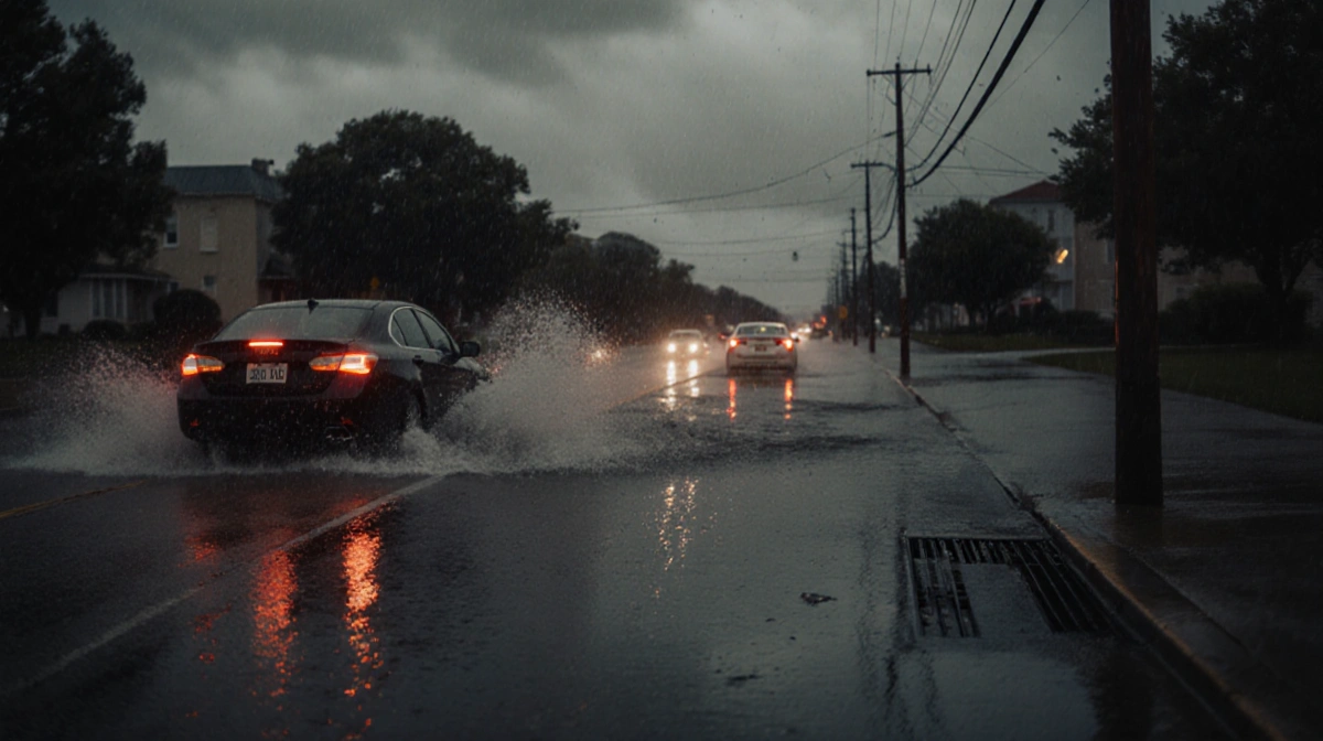
Heavy rain arrived before sunrise, sweeping west-to-east across the entire area. The downpour triggered street flooding along the Jersey Shore and turned Philadelphia’s expressways and suburban arteries into slow-moving rivers of brake lights.
Commuters faced:
- Standing water on I-95 and the Schuylkill Expressway
- Splash-over on Shore routes in Atlantic and Cape May counties
- SEPTA delays of 10-20 minutes on Regional Rail lines
Rainfall totals by 9 a.m.:
| Location | Amount |
|---|---|
| Philadelphia International | 1.34 in |
| Mount Holly | 1.57 in |
| Atlantic City | 1.82 in |
Wind Gusts Rip Through Region
As the rain shield lifted, winds pivoted to the northwest and intensified. Sustained speeds climbed above 30 mph, with the highest gusts topping 60 mph at the Shore.
Timeline of peak gusts:
- 6:15 a.m. – 54 mph in Wildwood
- 7:02 a.m. – 48 mph at Philadelphia International
- 8:11 a.m. – 52 mph in Trenton
The gusts snapped limbs and uprooted weakened trees still leaf-heavy from the mild fall. Crews fielded more than 400 outage reports across PECO and Jersey Central Power & Light territories.
Temperatures Plunge Behind Front
The storm’s passage flipped the weather script. Early-morning readings near 60° felt more like late October, but as the cold front swept through, thermometers tumbled into the upper 40s by lunch and continued sliding toward the 30s after dark.
Clean-Up Underway
By late afternoon, most flood waters had receded from primary roadways, though side streets in Shore towns remained under several inches of water. Utility crews worked to restore the final pockets of electricity before winds fully subsided.
Key Takeaways
- First Alert timing proved critical-peak impacts hit during the commute window
- Wind, not rain, caused the bulk of power outages
- Shore communities saw the worst flooding, while inland areas dealt with wind damage
- A 20-degree temperature drop in six hours marked the front’s passage
Download the News Of Philadelphia app and follow the Robert K. Lawson for real-time updates on the next weather system.


