

At a Glance
- Austin startup SkyFi raised $12.7 million in Series A funding to expand its geospatial analytics platform
- The company aggregates imagery from 50+ satellite partners and layers on insights for finance, defense, insurance, and infrastructure clients
- Customers can task satellites, view images, and buy ready-made analytics through a web portal and mobile app
- Why it matters: Real-time satellite insight is becoming a commodity, and SkyFi’s software-first model aims to deliver actionable answers faster than rivals
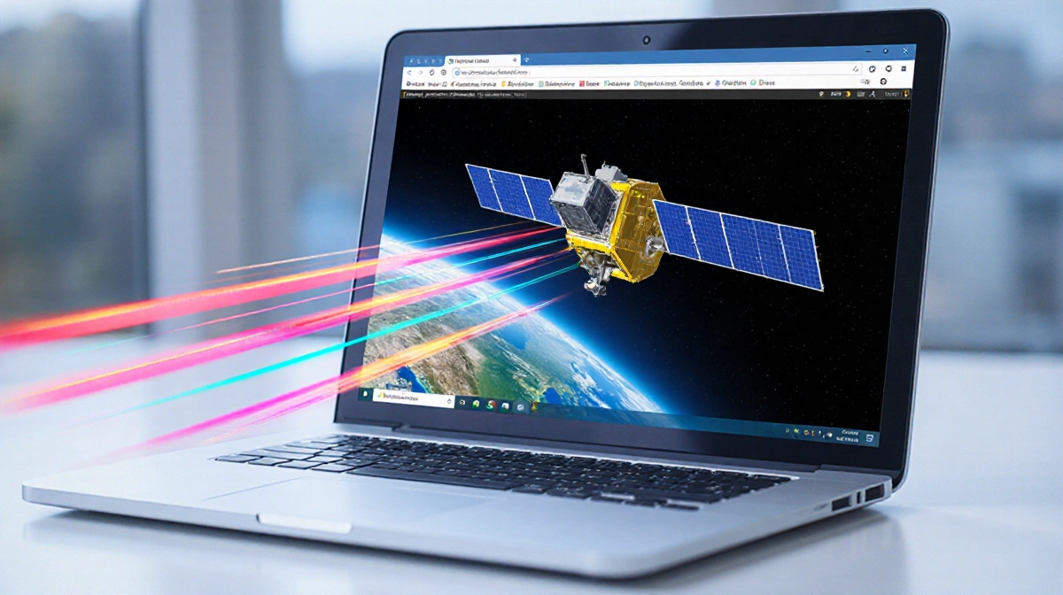
SkyFi has closed a $12.7 million Series A round as demand surges for on-demand satellite intelligence that goes beyond raw imagery. The Austin-based startup, which CEO Luke Fischer describes as a “Getty Images” for geospatial data, now counts more than 50 satellite providers on its platform and serves customers ranging from hedge funds to government agencies.
Funding Surge
The round was co-led by Buoyant Ventures, a climate-focused fund, and IronGate Capital Advisors, which backs dual-use technology. Additional investors include DNV Ventures (the venture arm of 160-year-old maritime classification society DNV), Beyond Earth Ventures, and TFX Capital, a defense-oriented space investor. Fischer told News Of Philadelphia that the company originally sought about $8 million, but record defense-tech investment in 2025 pushed demand higher. SkyFi lifted its target to $10 million, then $12 million, before settling on $12.7 million after strategic investors asked to join.
Fischer declined to name one of the late entrants on the record, but confirmed that DNV participated both as a co-investor and as a strategic partner.
From Imagery Marketplace to Insight Engine
SkyFi launched as a simple marketplace where customers could buy satellite images. The twist was speed: users can task a satellite, download the picture, and pay online within minutes. Fischer said the process used to require multiple phone calls and weeks of negotiation.
Growth accelerated when SkyFi bundled analytics on top of the pictures. Clients can now order change-detection maps, object counts, or risk scores without processing the pixels themselves. “Imagery is a commodity, or it’s closely becoming a commodity,” Fischer said. “It’s not just about speed of delivery, but more importantly, speed of delivery of answers to customers.”
Key capabilities include:
- Real-time tasking of optical, radar, and hyperspectral satellites
- On-platform AI models for crop monitoring, vessel detection, and infrastructure change
- A mobile app that lets users order and view imagery from a phone
- API access for hedge funds that want raw data for proprietary models
Defense Dollars Flow In
Fischer credits the funding oversubscription to a banner year for defense tech. Investors are chasing startups whose products serve both government and commercial markets, a category where SkyFi sits comfortably. The company already supports defense and intelligence clients, though Fischer stresses the platform remains open to anyone who needs geospatial answers.
The CEO compared SkyFi’s data loop to his prior experience running Uber’s Elevate division. “Uber has data on where people move in the world,” he said. “We have that equivalent data on what people are looking at in the world they’re asking of that data.” The insight lets SkyFi prioritize which algorithms to build next.
No Satellites, No Problem
SkyFi owns no spacecraft. Instead, it negotiates access rights with satellite operators and resells the data under uniform pricing and licensing terms. Fischer said providers were once reluctant to hand over their imagery, but onboarding is now “table stakes.” The startup claims the largest virtual constellation of commercial sensors, spanning optical, radar, and radio-frequency satellites.
The asset-light model keeps capital costs low and lets the company pour cash into software development. “We’re software first, so I don’t have the burden of having to pay for hardware capital expenses,” Fischer noted.
Customer Pull Drives Roadmap
Roughly two-thirds of SkyFi’s revenue now comes from analytics rather than raw imagery, according to Fischer. Hedge funds still buy pixels for in-house quant models, but insurance carriers want flood-risk scores and defense clients want vessel-detection alerts. The common thread is fast answers.
Fischer said customer requests have steered every major feature launch. Examples include:
- Weekly corn-yield forecasts for agricultural lenders
- Heat-map alerts for underwriters monitoring wildfire zones
- Change reports for construction firms tracking remote sites
The feedback loop even shapes satellite tasking patterns. When multiple users request the same location, SkyFi can negotiate bulk rates and faster revisit times with satellite operators.
Teenagers Task Satellites
Ease of use is a point of pride. Fischer said his teenage daughters use SkyFi’s iPhone app to order satellite shots for school projects. “They task satellites for their high school, and now college, homework on their iPhones,” he said. The anecdote underscores the company’s push to make geospatial data as accessible as a stock photo.
What Comes Next
The fresh capital will fund:
- Expansion of analytics catalog across climate, insurance, and infrastructure verticals
- Sales teams focused on government and defense contracts
- Machine-learning tools that fuse multiple sensor types into single reports
- International growth, especially in Europe and Asia-Pacific
Fischer hinted at upcoming partnerships with satellite operators to guarantee priority tasking rights, but declined to share names or timelines.
Key Takeaways
- $12.7 million Series A shows investor appetite for defense-tech startups that sell software, not hardware
- SkyFi’s pivot from imagery marketplace to insight engine mirrors the wider commoditization of satellite pictures
- By owning no satellites and aggregating 50+ data sources, the company keeps margins high and capital costs low
- Customer demand for quick answers, not raw pixels, now drives the majority of revenue and product roadmap