
At a Glance
- Cold temperatures will reach wind chills as low as negative 20°F, risking frostbite in just 20 minutes.
- Wake-up air temperatures will hover in the single digits, with highs in the teens/low 20s.
- The storm is the coldest sustained air in at least a decade.
- Why it matters: Residents must layer up and limit outdoor exposure to avoid serious cold injuries.
Cold temperatures are set to hit record lows across the region, prompting a First Alert for the next three days. Wind chills will range from negative 5°F to negative 20°F, depending on your neighborhood. Although the sky will be mostly sunny and partly cloudy, the sunshine can be deceiving.
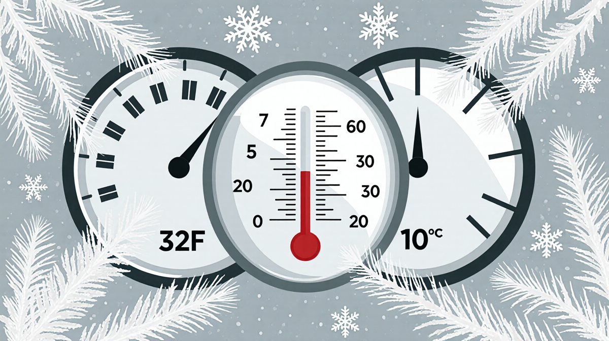
What the Numbers Mean
Wind chill is the perceived temperature on exposed skin when wind is factored in. The colder the wind chill, the faster the body loses heat. Here’s a quick reference:
| Wind Chill | Risk Level | Time to Frostbite |
|---|---|---|
| -5°F | Low | > 30 minutes |
| -10°F | Moderate | 20-30 minutes |
| -15°F | High | 15-20 minutes |
| -20°F | Very High | 10-20 minutes |
The forecast shows the next few days will bring wind chills in the negative 20s, meaning skin exposed to wind can suffer frostbite in as little as 20 minutes.
Why the Storm Is Unusual
This is expected to be the coldest sustained air in at least a decade. The combination of low temperatures and strong winds creates a dangerous environment even on clear days. Residents are advised to monitor the First Alert updates and stay indoors when possible.
Protecting Yourself from Dangerous Cold
The director of the School of Social Work at Temple University, Philip McCallon, explains how quickly the cold can affect people:
> “You may be affected more quickly than you notice. So restricting the amount of time that you’re outside, particularly without gloves, without a scarf, skin exposed, is where the danger comes,” said Philip McCallon.
Below is a practical checklist for staying warm and safe:
- Gloves – keep your hands protected.
- Hat – retain body heat.
- Scarf – shield your neck and face.
- Heavy sweater under your jacket – add insulation.
- Long pants – cover more skin.
- Warm socks in winter-appropriate shoes – prevent foot cold.
- Hand and foot warmers – extra heat for exposed areas.
Layering is essential: start with a moisture-wicking base layer, add an insulating middle layer, and finish with a wind-and-water-proof outer layer. Wear a hat, gloves, and scarf even if you feel warm inside.
Stay Informed
Residents can stay up to date with the latest forecast by following the NBC10 First Alert Weather team and downloading the NBC10 app. The app provides real-time updates and alerts, allowing you to plan outdoor activities safely.
Bottom Line
- Wind chills will reach negative 20°F.
- Frostbite can begin in as little as 20 minutes.
- The storm is the coldest sustained air in at least a decade.
- Layer up, limit outdoor time, and stay informed.
By following these precautions, you can protect yourself and your loved ones from the dangerous cold this week.