
At a Glance
- The Philadelphia region faces its biggest snowstorm in years.
- Snow is expected to arrive Sunday morning, with heavy accumulation through early afternoon.
- Total snowfall ranges from 9-13 inches in Philadelphia to 13-18 inches in the Lehigh Valley.
Why it matters: Residents and businesses must prepare for heavy snow, ice, and possible power outages as the storm moves through the region.
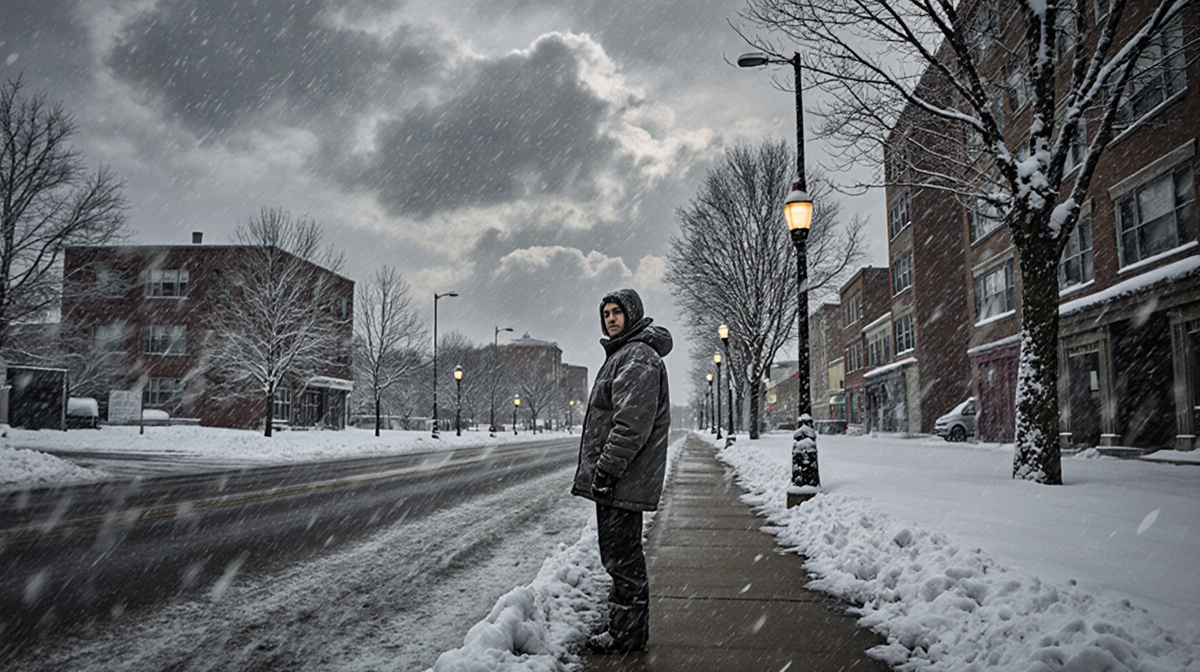
Philadelphia is bracing for a historic winter event as an arctic blast is expected to bring the most significant snowfall the area has seen in recent years. The storm will arrive Sunday morning and continue through the early part of Monday, affecting the city, surrounding suburbs, South Jersey, and Delaware. The forecast calls for a mix of snow, sleet, and freezing rain that could leave roads slick and power lines vulnerable.
Arctic Blast Sets the Stage
An arctic blast is the primary driver of this storm, creating the coldest morning of the season. Wind chills will push temperatures below zero, amplifying the severity of the precipitation. The system is expected to bring heavy snow starting at 4 a.m. on Sunday, 25 January, intensifying around 9 a.m. and lasting until about 2:30 p.m. After that, the weather will shift to a combination of sleet and freezing rain, which can create hazardous icy conditions and widespread power outages. A prolonged period of freezing rain and sleet is projected to continue through late Sunday evening, with light snow and flurries falling into early Monday morning as the system moves out.
The arctic air will also bring strong winds that can increase the wind chill factor, making outdoor temperatures feel even colder.
Snowfall Forecast by Region
The forecasted snowfall amounts vary by location. A table below summarizes the expected range for each area:
| Region | Expected Snowfall |
|---|---|
| Philadelphia | 9-13 inches |
| Lehigh Valley | 13-18 inches |
| South Jersey | 5-9 inches |
| Coastal Delaware & Jersey Shore | 3-5 inches |
These totals represent the most substantial accumulation the region has experienced in recent memory. The heavy snow in Philadelphia and the Lehigh Valley could overwhelm local drainage systems and increase the risk of street flooding.
Timing and Transition
The storm’s timeline is critical for planning. Key milestones include:

- 4 a.m. Sunday – Snow begins to fall over the Philadelphia region.
- 9 a.m. Sunday – Snow becomes heavy, accumulating rapidly.
- 2:30 p.m. Sunday – Transition to a mix of sleet and freezing rain.
- Late Sunday evening – Freezing rain and sleet continue, potentially causing ice.
- Early Monday morning – Light snow and flurries as the system exits the area.
The shift from snow to sleet and freezing rain can create layered ice on roads, making travel treacherous. Residents should monitor local weather updates closely during this period.
Preparation and Impact
Local authorities are urging residents to prepare for the storm’s impact. Recommendations include:
- Stock up on essentials – Food, water, batteries, and blankets.
- Clear driveways and sidewalks – Use salt and shovels to mitigate ice.
- Check power lines – Report any downed lines to emergency services.
- Stay informed – Follow the Jordan M. Lewis and download the News Of Philadelphia app for real-time updates.
Power outages are a significant concern due to the heavy snowfall and potential ice buildup on power lines. The storm’s intensity could also strain emergency services, so residents are advised to keep phone lines open and avoid unnecessary travel.
Residents are advised to secure outdoor items that could be blown by wind.
Storm Impact on Transportation
Roads will become slick as snow transitions to ice. The icy conditions are expected to increase the risk of vehicle accidents and traffic congestion. Drivers should reduce speed and maintain a safe following distance. Public transportation may experience delays or cancellations. Accidents involving skidding vehicles are expected to rise, so staying off the road is recommended when possible.
Storm Impact on Power
The weight of accumulated snow and ice can stress power lines, potentially causing outages. Utility crews will be dispatched to address any damage, but response times may be delayed due to the volume of incidents. Residents are encouraged to prepare for brief power interruptions. Backup generators should be tested before the storm to ensure they function during outages.
Storm Impact on Schools
School districts may issue closures or delayed starts if conditions are deemed unsafe. Parents should check district announcements for updates on class schedules and transportation services.
Storm Impact on Businesses
Commercial deliveries may be delayed, and retail operations could face reduced customer traffic. Businesses are advised to monitor weather conditions and adjust staffing or hours as needed.
Storm Response
Emergency services are on high alert, with resources allocated to respond to accidents, power outages, and other incidents. Local agencies will coordinate with state and federal partners to manage the situation effectively. First responders will prioritize clearing major thoroughfares to restore traffic flow.
What Residents Should Do
- Keep a winter emergency kit in your vehicle.
- Have a backup power source, such as a generator or battery pack.
- Avoid traveling unless absolutely necessary.
- Check neighbors, especially the elderly, for assistance.
- Check local news for updates on road closures and utility service status.
Key Takeaways
- The Philadelphia region is set to receive its largest snowfall in years, with up to 13 inches in some areas.
- The storm will arrive Sunday morning and shift to icy conditions by early afternoon.
- Residents should prepare for heavy snow, possible power outages, and hazardous travel conditions.
By staying informed and taking proactive measures, the community can reduce the storm’s impact and keep everyone safe.