
At a Glance
- A bomb cyclone has peaked, sending blizzard conditions and up to 2 ft of snow across the Great Lakes.
- More than 100,000 power outages reported in Michigan from heavy snow and high winds.
- 30 million Americans are under winter weather alerts, with gusts up to 55 mph expected across the Northeast.
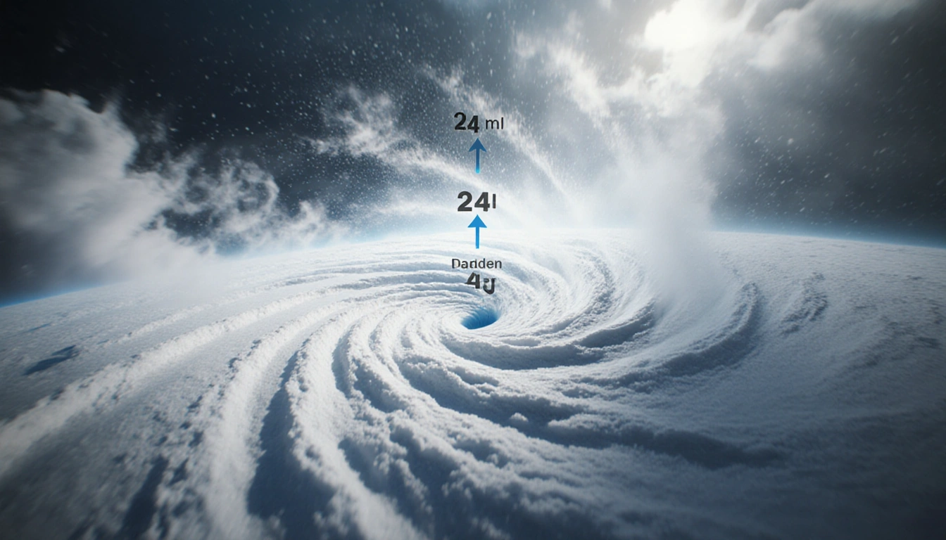
A bomb cyclone, a rapid pressure drop of 24 millibars in 24 hours, has slammed the Northeast, Great Lakes, and Ohio Valley with blizzard-grade weather. The storm, already a record-breaking system, is moving northeast toward Canada, while the National Weather Service warns that snow totals could reach 2 ft in parts of the Great Lakes.
The Storm’s Path
The National Weather Service reported that blizzard conditions are most intense over the central Great Lakes. As the system reaches peak intensity early this morning, the NWS stated:
> ‘As this system reaches peak intensity early this morning, blizzard conditions can be expected especially over the central Great Lakes,’ the National Weather Service stated Monday.
A mix of snow, sleet, and freezing rain is spreading through New England before warmer air turns the mix to rain during the day:
> ‘Meanwhile, a mix of snow sleet and freezing rain will spread quickly through New England before warmer air changes the wintry mix to all rain during the day,’ the NWS added.
- Michigan: over 100,000 power outages.
- Northern Iowa and Michigan’s Upper Peninsula: blizzard warnings remain in effect.
- Ohio Valley to Northeast: wind advisories with gusts up to 55 mph (88 km/h).
What Is a Bomb Cyclone?
- Definition: A storm whose barometric pressure falls 24 millibars within 24 hours.
- Mechanism: Collision of a cold air mass with a warm air mass, creating a strong pressure gradient.
- Result: Intense winds, blizzard-level snowfall, dangerous wind chills, and coastal flooding.
- Historical context: This weekend’s system formed when an Arctic cold front met a record warm spell across the central and southern U.S.
| Metric | Value |
|---|---|
| Pressure drop | 24 mb in 24 h |
| Wind speed | up to 55 mph |
| Snowfall potential | up to 2 ft |
| Affected population | >30 million |
The rapid pressure change fuels hurricane-force winds and blizzard-level snowfall, making bomb cyclones more hazardous than ordinary winter storms.
Impact and Outlook
As of Monday morning, 30 million Americans are under winter weather alerts across the upper Midwest and Northeast. The cyclone is expected to move quickly into southeastern Canada, tapering much of the snow by Monday evening. Lake-effect snow will linger in some down-wind areas through at least Wednesday morning, as a separate Alberta clipper brings light snow across the upper Midwest and Great Lakes on Tuesday.
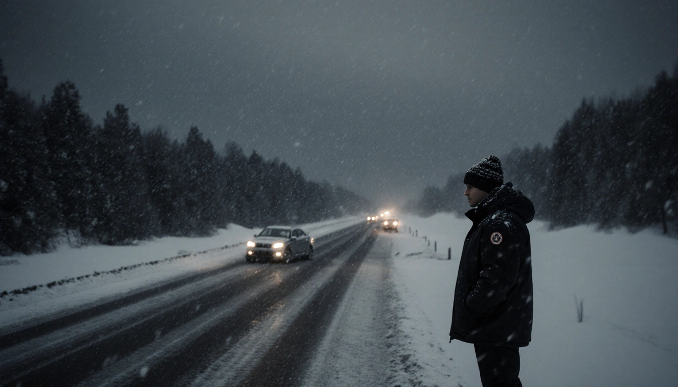
- Road safety: Ice and blowing snow reduce visibility, posing risks to post-holiday travel.
- Travel advice: Forecasters urge residents in the cyclone’s path to stay alert, refrain from traveling, and prepare for rapidly changing conditions.
- Future outlook: Similar powerful systems could return in the coming months as the winter season continues.
Key Takeaways
- A bomb cyclone has peaked, delivering blizzard conditions and up to 2 ft of snow over the Great Lakes.
- Over 100,000 power outages in Michigan and 30 million Americans under alerts highlight the storm’s severity.
- The system will shift into Canada by Monday, but lake-effect snow and wind advisories will persist through Wednesday.
The storm’s intense winds and snowfall underscore the need for preparedness as winter weather continues to shape the Northeast and Great Lakes region.