

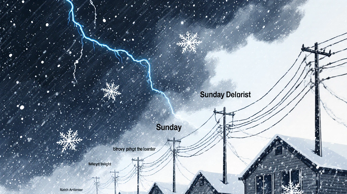
A fast-moving clipper delivered the first flakes Saturday, and a second, stronger system is already lined up for Sunday, Jan. 18, 2026, putting the Philadelphia region under back-to-back snow alerts.
At a Glance
- Saturday snow showers tapered off after creating slick roads and a 12-car pileup on I-78 in Berks County
- A new round of snow or rain changing to snow arrives Sunday, 5 a.m.-7 p.m.
- General 1-3″ expected, but a narrow band along I-95 could squeeze out 5″
- Montgomery County’s snow-emergency routes take effect 7 p.m. Saturday; parked cars must move or be ticketed
- Jersey Shore and Delaware Beaches start as rain, ending with lighter snow totals
Saturday’s Round One
Snow showers began around 7 a.m. across the Pennsylvania Suburbs, Berks County and the Lehigh Valley, persisting into the early afternoon. A Winter Weather Advisory was expanded southward to include Lehigh and Berks after initially covering the Poconos and Northampton County.
The quick burst proved enough to coat roads and trigger multiple crashes:
- A 12-car crash on I-78 in Berks County
- Slick, dangerous conditions reported across the region
Emily Carter Reynolds reported the snow created “slick and dangerous conditions on the roads.”
Sunday’s Round Two: Timing & Totals
The second disturbance arrives overnight and lasts through Sunday evening:
| Period | Conditions | Expected Accumulation |
|---|---|---|
| 5 a.m.-noon | Snow or rain changing to snow | 1-3″ region-wide |
| Noon-7 p.m. | Steady snow, narrow heavy band | Up to 5″ possible along I-95 |
| Jersey Shore & DE Beaches | Rain to brief snow | Lower totals |
Forecasters say a narrow but intense snow band may develop along I-95, capable of dropping a quick 5″ while communities just 10 miles north or south see half that amount.
Local Preparations Underway
Montgomery County has already declared a snow alert emergency:
- Takes effect 7 p.m. Saturday, Jan. 17, 2026
- All vehicles must be removed from designated snow-emergency routes
- Violators face ticketing and towing, according to ReadyMontco
PennDOT and municipal crews pretreated major corridors Saturday afternoon in anticipation of the Sunday event.
Travel Impact
With temperatures hovering near freezing, road surfaces are expected to become slippery quickly. Key concerns:
- Evening commute Friday should remain dry
- Overnight refreeze possible where snow melted Saturday
- Sunday morning travel likely to be most hazardous
- Flight delays possible at Philadelphia International, especially between 10 a.m. and 4 p.m.
Weekend Forecast Details
Saturday night: Clearing skies, low 24°F, allowing crews to treat roads
Sunday: Snow or rain to snow, high 32°F, northeast wind 10-15 mph
Sunday night: Snow ending by 8 p.m., low 26°F
Monday: Mostly sunny, high 36°F, melting begins
What to Do Now
- Move vehicles off Montgomery County snow-emergency routes before 7 p.m. Saturday
- Charge devices and download the News Of Philadelphia app for live radar updates
- Allow extra travel time Sunday morning
- Keep a blanket, snacks and scraper in vehicles
- Check on elderly neighbors who may need help shoveling
Key Takeaways
Back-to-back snow threats are rare for mid-January, and the second wave carries the higher impact. A corridor along I-95 from Trenton through Center City to Wilmington sits in the bulls-eye for the heaviest totals, while coastal areas escape with a cold rain and only minor ending snow. County crews are staging equipment and residents have a narrow window Saturday evening to clear cars from emergency routes before the next round begins.