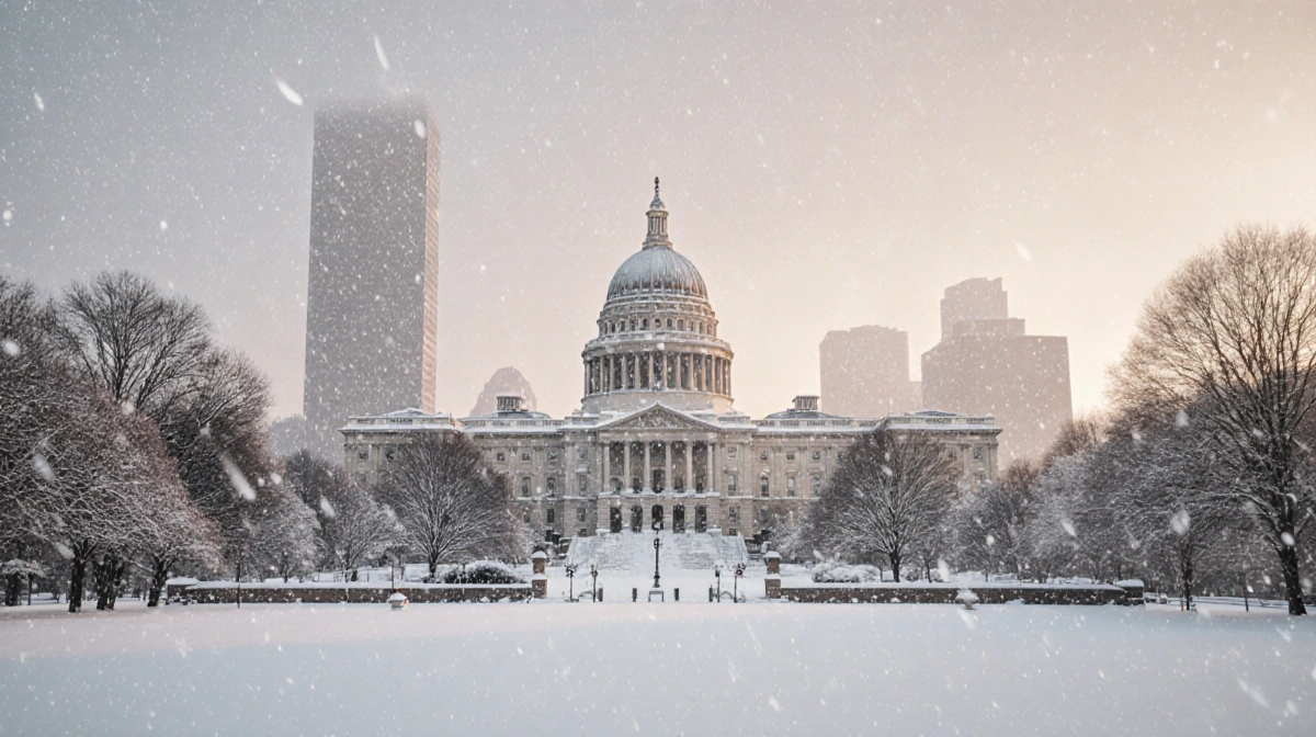
At a Glance
- Snowstorm expected to be the biggest in years.
- Heavy snow begins January 24 and peaks on January 25.
- Over 10 inches of snow, sleet, and freezing rain predicted.
A snowstorm is set to hit the Philadelphia region, its most intense blizzard in years. Heavy precipitation begins on January 24 and is expected to peak on January 25.
The storm will bring a mix of heavy snow, sleet, and freezing rain across the area. The wintry mix is forecast to affect the I-95 corridor during the late afternoon of January 25.
Snow accumulation will be greatest in the early part of the day on January 25. Forecast models predict the highest intensity during the first few hours of the morning.
After the peak, the snowfall rate will gradually decrease through the night. Residents can expect lighter flakes as the storm moves toward the weekend.
By Monday morning, light snow will continue to fall before clearing out by the afternoon. The storm is expected to move out by early Monday.
Weather experts note that the storm’s path will likely bring at least 10 inches of snow to most of the region. This depth is unprecedented for the area in recent years.
Alongside snow, sleet and freezing rain are projected to reach Delaware and South Jersey. The combination will create hazardous travel conditions.
Precipitation types are expected to shift as the storm progresses. The early morning will see heavy snow, transitioning to sleet later in the day.
Officials are urging residents to monitor updates from the local weather service. Staying informed will help mitigate risks.
Philadelphia suburbs are bracing for road closures due to the heavy snow. School districts have already announced potential cancellations.
Public transportation agencies are preparing to adjust schedules. Bus and train services may run at reduced frequency during peak hours.
Emergency services are on standby to respond to accidents and medical emergencies. Hospitals are stocking up on supplies for potential surges.
Retailers in the area are stocking up on winter gear and snow removal equipment. Local businesses are also offering delivery services to reduce travel.
Utilities are monitoring the grid for potential outages. Power companies are dispatching crews to address any disruptions quickly.
Road maintenance crews are scheduled to clear major thoroughfares. Snowplows will be operating from early morning until evening.
Local authorities have requested residents to avoid unnecessary travel. Those who must drive should equip vehicles with chains and blankets.
Neighborhood watch groups are coordinating to assist neighbors with clearing driveways. Community cooperation is essential during the storm.
Residents should stock up on essential supplies such as food, water, and batteries. Having an emergency kit will keep families safe.
Check the weather forecast daily for updates from News Of Philadelphia First Alert Weather team. The News Of Philadelphia app provides real-time alerts.
Ensure vehicles are winterized with antifreeze and adequate tires. A full tank of gas can prevent breakdowns during the storm.
Plan for power outages by keeping flashlights and a battery-powered radio on hand. Avoid using candles to reduce fire risk.
Consider staying at a nearby friend’s house if the storm is severe. Contact neighbors early to coordinate assistance.
Children and pets should remain indoors during heavy snowfall. Keep them warm and away from windows.
Check local news for school closures and road conditions. A quick phone call can confirm the status of public services.
Keep a small amount of cash in case electronic payments fail during outages. This can help in emergencies.

The storm will begin to drop snow in the late evening of January 24. Residents can expect the first flakes as temperatures drop.
By midnight, the accumulation will start to build rapidly. Snow depth will increase steadily throughout the night.
During the early morning of January 25, the snow rate will peak. The forecast calls for a maximum of 1-2 inches per hour.
Later in the day, sleet and freezing rain will mix in, creating slick roads. Drivers should exercise caution.
On Monday morning, light snow will continue to fall but at a slower pace. By midday, conditions should improve.
Travelers should plan extra time for commutes. Traffic congestion is expected on major highways.
Snow removal crews will work overtime to keep streets clear. Residents can expect multiple passes on main roads.
After the storm, the area may experience lingering frost and icy patches. Proper de-icing is essential before resuming normal activity.
Local officials urge everyone to stay safe during the storm. Following the guidelines will reduce risks.
With preparation and vigilance, residents can weather the storm without major disruptions. Stay tuned for updates from News Of Philadelphia.


